Traffic congestion and noise increase for those living on or off of Coles Road with 250 additional vehicles, 1100 trips a day added.
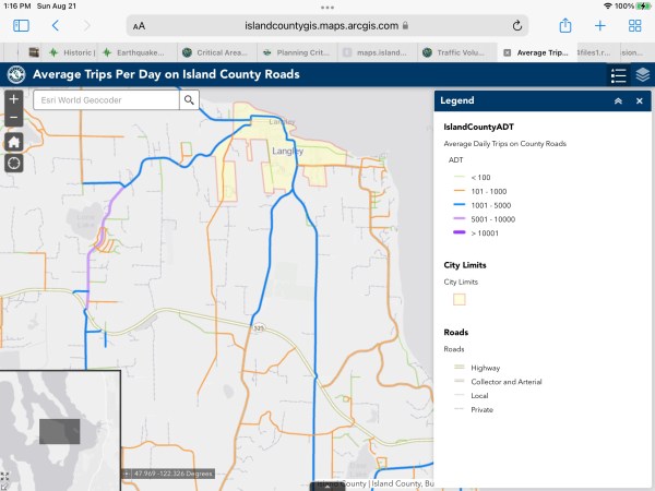
8-24-22 Developer description of CV PUD. “The Property can be accessed by automobile only from Coles Road, which has no curbs, gutter, or sidewalks along most of its length. Construction of a sidewalk along Coles Road is complicated by critical areas (both steep slopes and wetland areas existing immediately along the shoulder of the road)”.
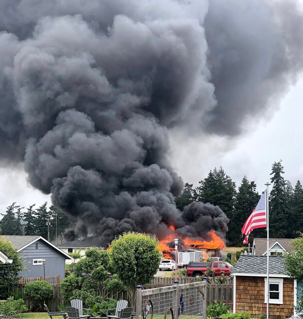
Deforesting Dangers
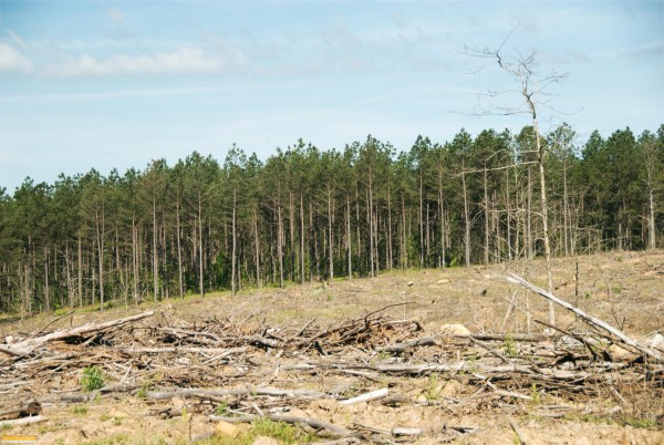

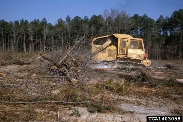
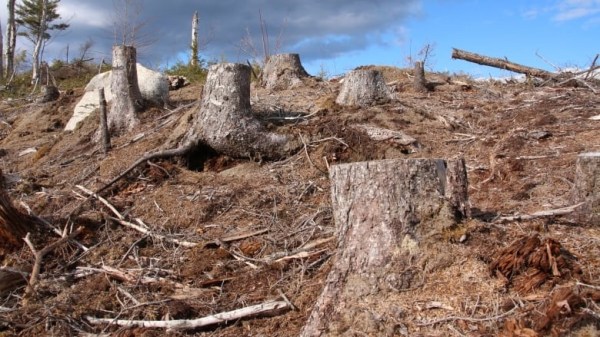
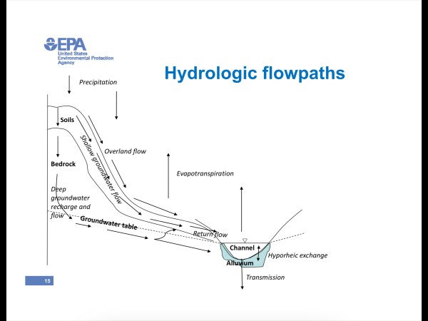
Timber harvesting by clear cutting is known to impose environmental impacts, including severe disturbance of the soil hydraulic properties which intensify the frequency and magnitude of surface runoff and soil erosion. Soil erosion by overland flow resulting from infiltration-excess rainfall is a complex phenomenon that not only determines the transport of sediments across the landscape but also controls the fate of carbon, nutrients, and pollutants transported with these sediments.
- Destroys forest ecosystems, depriving wildlife of natural habitats and decreasing biodiversity. Still, fauna can return to the area when the forest is renewed.
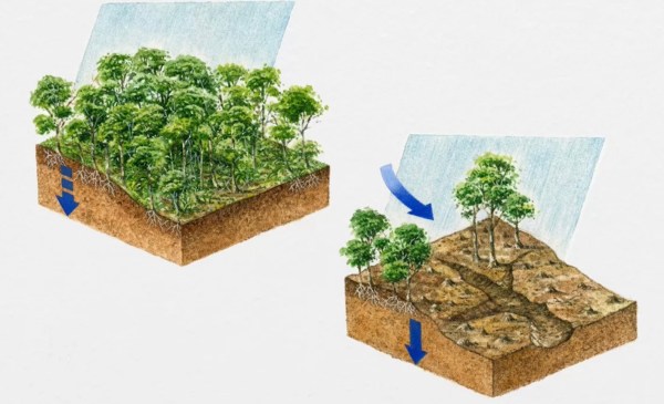
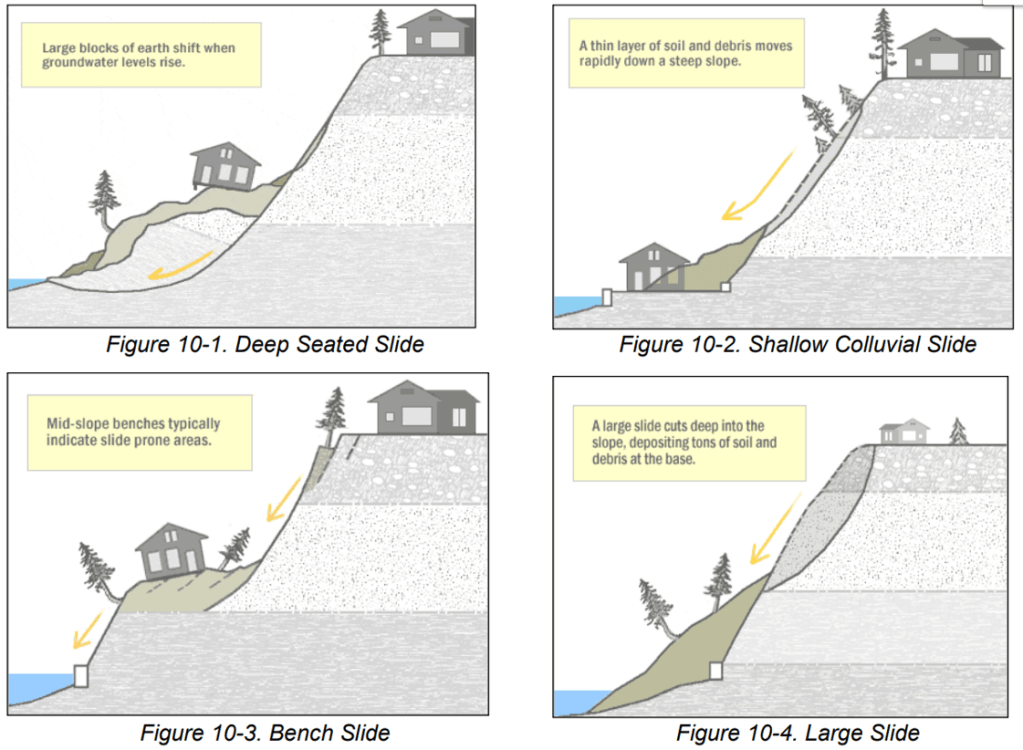
- Increases the risks of soil erosion. Trees slow down water currents, preventing rill formation, this is why clear-cutting increases erosion.
- Leads to sedimentation and nutrient leakage to water bodies.
- Interferes with the water cycle as trees consume and release moisture in the process of evapotranspiration.
- Raises water temperature in the riparian zones due to a lack of shade, which adversely affects the aquatic animals.
- Worsens the air quality. Trees enrich the atmosphere with oxygen and take carbon dioxide. Clear-cutting reduces this forest property.
- Removes carbon sinks. Trees and forest soils accumulate carbon. When forests are cut, carbon is released, adding to global warming and climate change.
- Spoils the scenery. Bare patches in forest landscapes look empty and are in no way appealing to the eye.
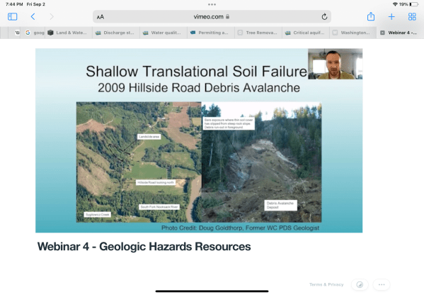
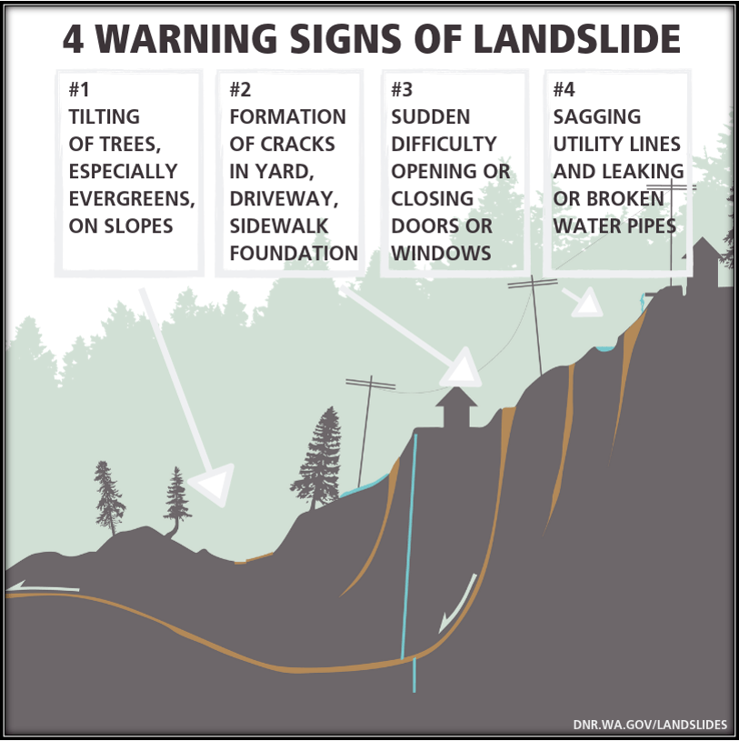
- Provokes slides. Tree roots hold the soil in place. After clear-cutting, the earth becomes loose, which often leads to sliding
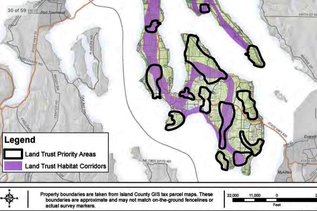
Saratoga Land Trust Habitat Corridor
The lands that SaratogaTrust works to conserve benefit local communities in so many ways. Forested areas provide habitat for wildlife, keep our air and water clean, promote mental and physical health, and help absorb water during storm and flood events. When forests are disturbed by land conversion or fragmentation, the ecosystem can be severely damaged, affecting the balance between wildlife, plant life and the water supply.
Click to access Whidbey_Camano_Land_Trust_2018.pdf
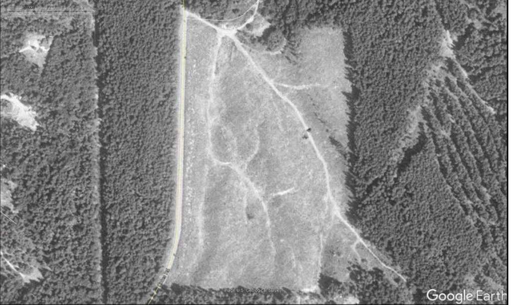
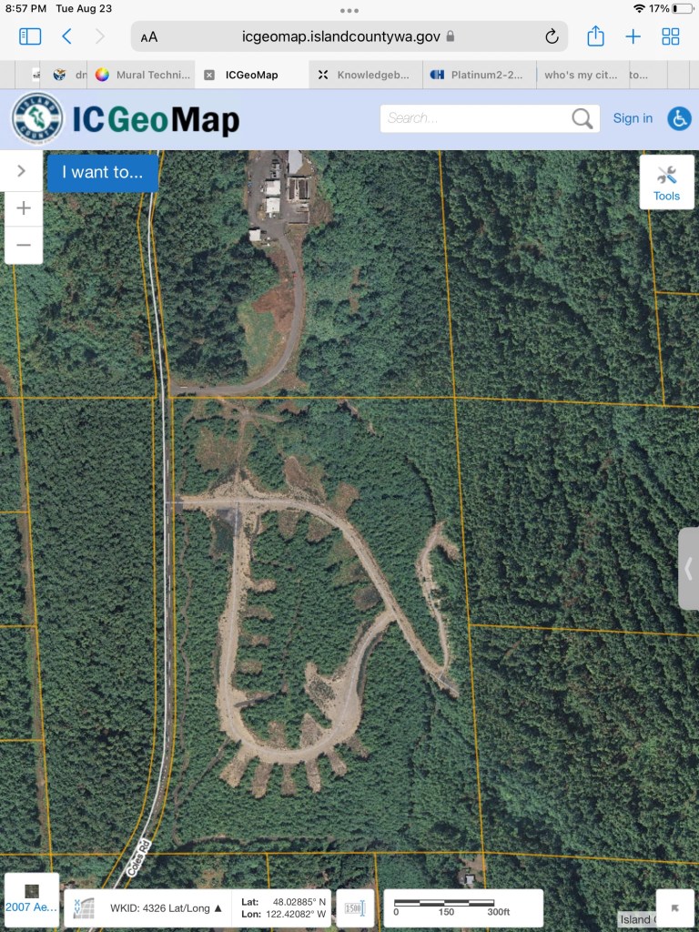
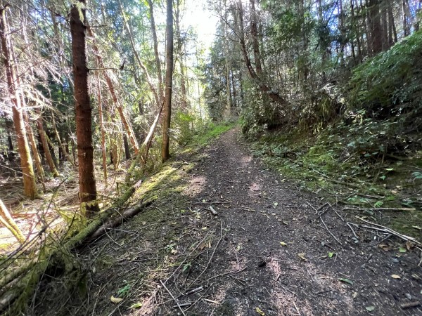
Full Development of the SWLLC parcel will remove wildlife trails and walking trails surrounded by beautiful forest in a cool, varied terrain environment.
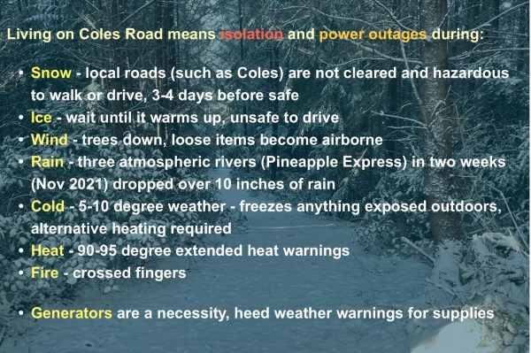
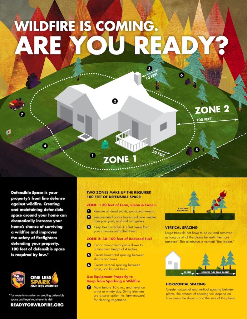
Weather Extremes
Water Availability
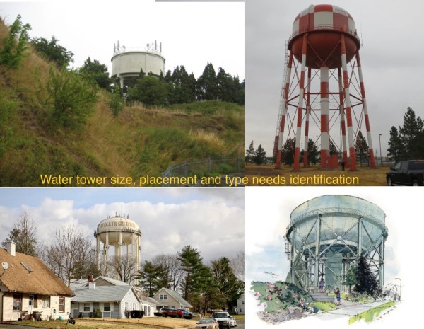
What is the estimate of the Coles Valley Development overall water system demand and consumers’ consumption per WAC 246- 290-221? With a minimum of 300 residents, mixed housing, commercial use buildings, maintenance, landscaping, fire flow (GPM and time required), size of water tower needed, study of critical slope placement and weight, what are the plans for water storage and delivery?? What effect will the significant increase in water use have on the community, well use, future lots for building and all users of Langley water? Place on a critical slope?
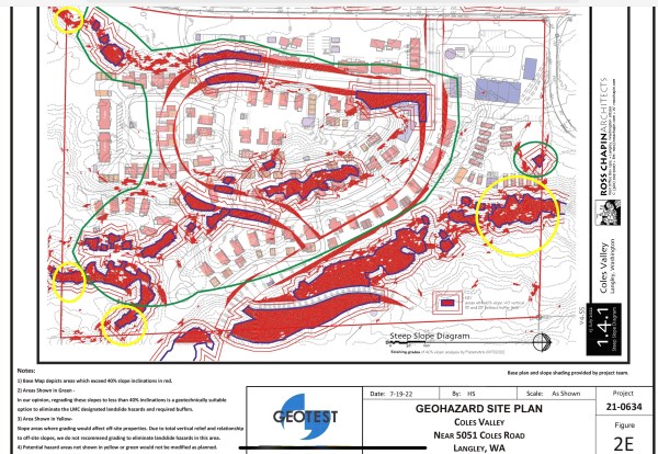
Erosion Hazard Areas
Defined by Langley Municipal Code Chapter 16.20.045 as “at least those areas identified by the U.S. Department of Agriculture’s Natural Resources Conservation Service as having a “moderate to severe,” “severe,” or “very severe” rill and inter-rill erosion hazard.” Based on the above LMC criteria, the project site is considered to present erosion hazards based on the presence of Sholander, cool-Limepoint complex and Utsalady-Uselessbay complex soils and their associated K-factor designations.
Geotest Report Revision 3 – July 18, 2022 Coles Valley Near 5051 Coles Road Langley, WA,
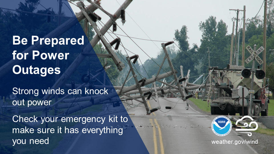
Disaster Preparedness Concerns

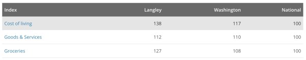
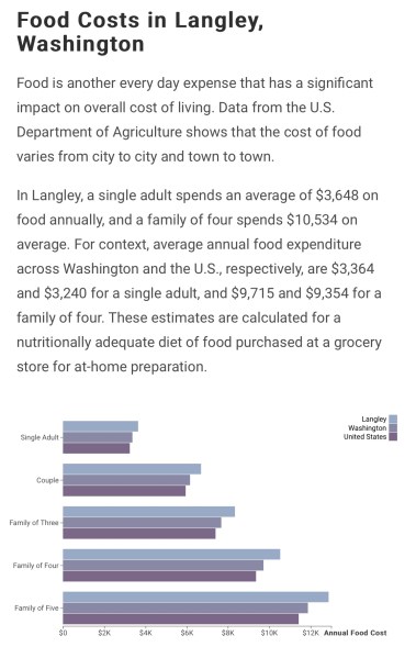
Cost of Living in Langley
“As noted, some needs will require travel outside the community, and for those who do not drive, on-demand bus service with Island Transit will facilitate these trips”. SWLLC application narrative 8-2022.
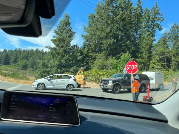
It is expensive to buy groceries, eat at restaurants or buy retail items in Langley. Most 98260 residences shop at The Goose, Payless, or Red Apple. Vehicles are required to live on Coles Road. It’s dangerous to walk or ride bicycles on Coles Road. There is no shoulder.
Island Transit may take Coles Road residents to the nearest transit stop (Langley or Bayview). The bus system provides limited routes, limited times and limited island stops. There is no transportation service available to rural 98260.
