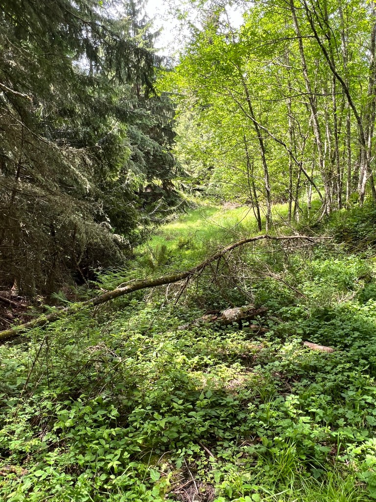
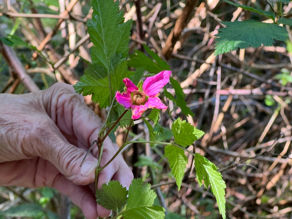
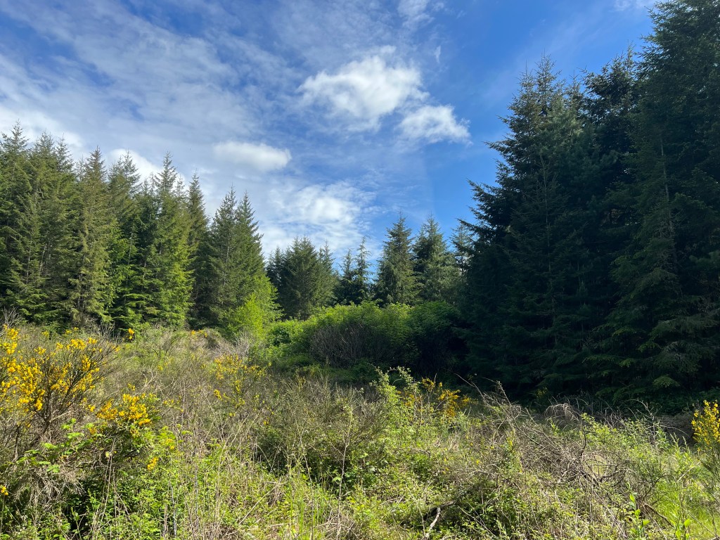
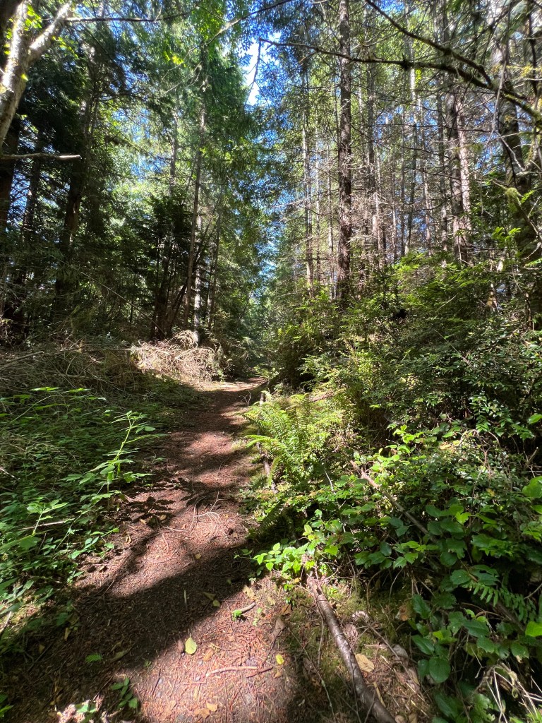
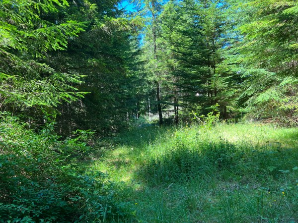
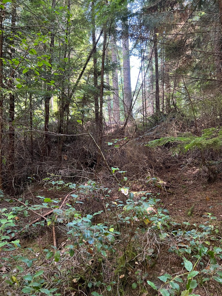
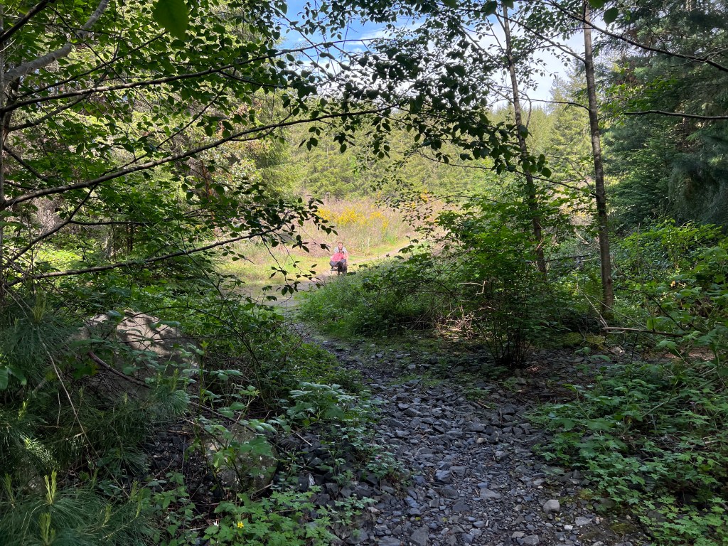
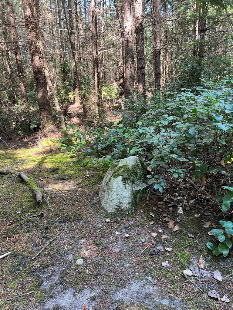
Woods of Whidbey
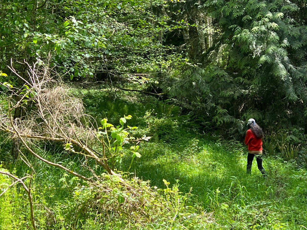
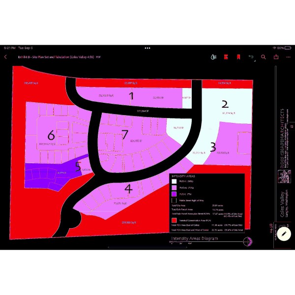
South Whidbey LLC (SWLLC) is a Bellingham based company. Bob Libold, formally of Trillium, NJB Development and Pacific Crest Partners sold the parcel to newly formed SWLLC (Libold and Ken Hertz) in 2010 for ten dollars. The 40 acres is located at “near” 5501 Coles Road, next to the Langley Wastewater Treatment Plant. The parcel was previously annexed by the city of Langley in 2006 and approved for 24 homes. The recent development application (August 24, 2022) is for 161 mixed housing units and multiple commercial buildings. The proposed development plans to deforest the acreage, remove most of the critical slopes, place sewer/water lines, and roads. The 28 acre area will then be divided into seven subplots and sold to unidentified developers.

Email concerns and comments to: planning@langleywa.org with copies to council@langleywa.org and mayor@langleywa.org.
Ask that your comments become part of the record for hearing examiner and save the reply back from planning that it has been added.
The June 14, 2023 application package is available for review at
From: 1/2018 City of Langley Land Use Comprehensive Plan
“Streams, wetlands and their adjacent riparian areas are critical ecological features as well as forming part of Langley’s scenic backdrop. Maintaining high water quality is both a community and state imperative. Reduction in water quality will not only reduce the environmental and scenic value of the streams, but it may also threaten the ground water that is connected to the surface water system”.
Moderate, planned growth by cities and counties is expected. 200+ vehicles and 300 people in a dense development could have unpredictable and unintended consequences for Langley and the 98260 zip code.
Langley 2013 comprehensive plan reads: “Encourage development in urban areas where adequate public facilities and services exist or can be provided in an efficient manner. Reduce Sprawl. Reduce the inappropriate conversion of undeveloped land into sprawling, low-density development”.
This website provides more information addressing the history of the Coles Road parcel, dangers of deforesting, WWTP facts, environmental issues, aquifer recharging, etc. not covered in the SWLLC application. All letters written to the city from 9-1-22 and during announced 14 day comment period will be provided to SWLLC to mediate. The city combined its SEPA review with the comment period. This is followed by a hearing examiner. All issues identified to the hearing examiner can be used to appeal the city decision (if the development proposal is approved).
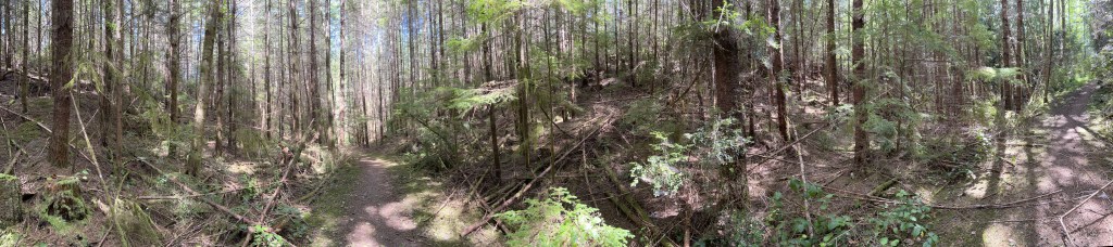
…..cutting of trees on slopes leads to a gradual decrease in mass stability as a result of the decay of roots which previously acted as tensile reinforcements in the slope. Root decay can also lead to the formation of pipes in a slopes which promote internal or seepage erosion. The removal of tree canopy results in the loss of interception and evapo-transpiration which tends to promote wetter and less secure slopes. Canopy removal also results in less attenuation in the delivery rate of rainfall to the ground surface.
Effects of deforestation on slopes
Author: Brown, C.B. and Sheu, M.S.
Example of Developer Expectations
- Baseline assessment and studies – Determination of existing parameters of the project site for a working reference (i.e. hydrology, stream morphology, groundwater table, critical slopes, erosion, trees, vegetation, seasonal Geotest studies, stormwater plan)
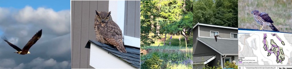
- Identification of site specific functions and values (e.g. wildlife and wetlands, riparian areas, forest, erosion control, earthquake soils, aquifer recharge, flood reduction) with a balance of environment and financial gain.
- Transparent planning and management practices (e.g. critical tolerances, cumulative impacts, compromise and trade offs, covenants and restrictions, identification of responsible parties throughout process, legal liabilities, transfer of liability)
- Planning prior to and implementation of mitigative measures throughout the process of infrastructure development, such as ownership of apartment buildings/tenant criteria
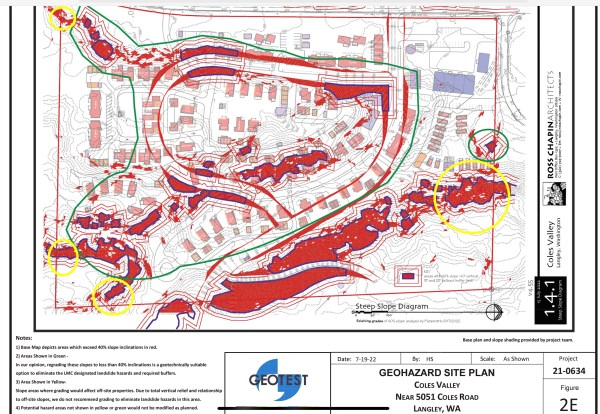
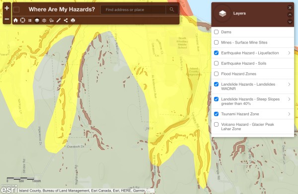
- Left- Yellow identifies moderate liquefaction areas along Coles Road, in yellow, with the sandy soils
